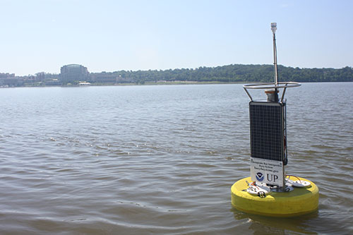
CBIBS is once again reporting data from the Upper Potomac location, just south of the Woodrow Wilson Bridge--but it's coming from a new buoy. The smaller buoy was positioned in the same location as the earlier, larger buoy, off National Harbor, Maryland, and Alexandria, Virginia, on May 17; data is now flowing to the website, 877-BUOY-BAY, and mobile apps. (A few tweaks are being make to enable the current sensor to again report current speed and direction.)
The CBIBS team decided that such a large, hardy buoy was not needed in the Upper Potomac location, where wind and waves are typically lower than on the open Bay. The new buoy design houses sensors that track all the same parameters as the bigger buoys--but in a more compact and maneuverable package. The buoy was able to be deployed from on board the NOAA Chesapeake Bay Office's research vessel, Bay Commitment, rather than by working with partners to secure time using one of their larger boats. This will enable more seamless operations and maintenance in the future, as well.
CBIBS staff at the NOAA Chesapeake Bay Office will monitor performance of the smaller buoy, and may explore using this design in other locations around the Bay.
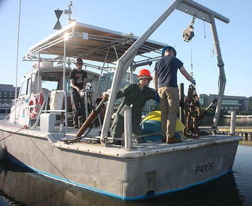
The morning of the buoy deployment, before the team on board the R/V Bay Commitment left the dock at National Harbor, they used equipment on board the boat to ready the ground tackle (anchor, chain, etc.) on the transom.

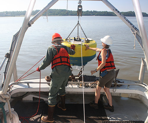
Once at the buoy's location, the CBIBS team used the "A-frame" to power winch the buoy's hull, or base, from the deck of the boat up and then into the water. It is secured in place by an anchor.

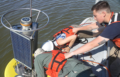
It took some teamwork, but once the buoy base was in place, the CBIBS team securely attached the top structure of the buoy. The top structure holds the solar panels and meteorological sensors.

A successful deployment--the Upper Potomac CBIBS buoy is again reporting data from the Potomac River.


